
The dragon guarding Plymouth Sound
The long way home
Have you ever looked out to sea, watched the ships returning to port and wondered why they all go the ‘long way’ around Drake’s Island?
Naval vessels, Brittany Ferries, visiting ships and the big commercial traffic all seem to follow much the same route, sweeping around Drake’s Island before heading towards Devonport.
And there’s a very good reason for that.
Next time you’re looking out across The Sound when the tide is particularly low, look towards Cornwall.
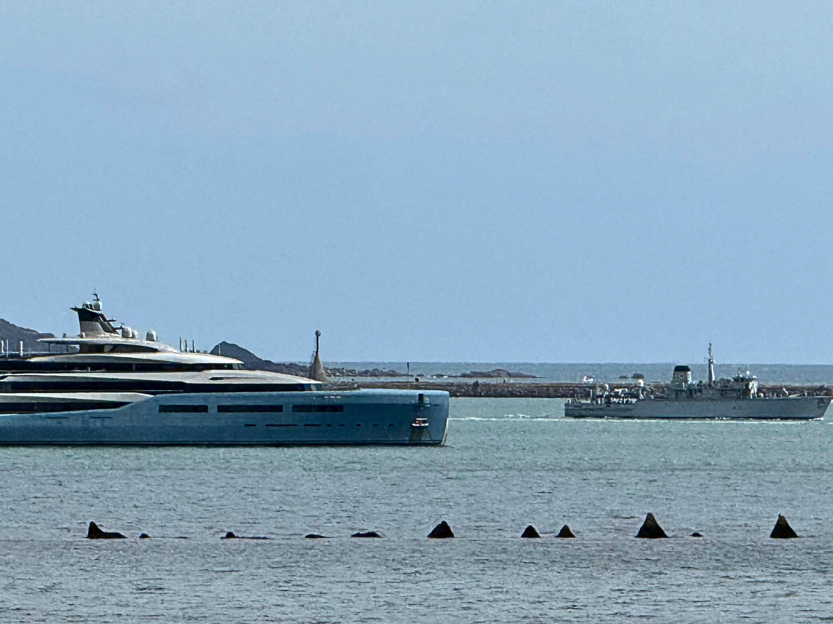
Between Drake’s Island and Mount Edgcumbe, a strange line of what appears to be jagged rocks begins to emerge from the water.
Locals call them the Dragon’s Teeth.
But did you know? They aren’t rocks at all, they aren’t a geological curiosity, and they certainly weren’t put there by nature.
They’re the remains of Plymouth’s military defences - and they’ve been quietly sitting out there, disappearing and reappearing with the tide, for decades.
So why are they there? And why do all those enormous ships choose the route they do?
Let’s take a look.

First: The Bridge
The stretch of water between Drake’s Island and the Cornish shore has a rather wonderful name: The Bridge.
It’s not a bridge in the conventional sense; the name refers to a shallow, rocky area beneath the water - a natural feature that has made this stretch of The Sound difficult for larger vessels to navigate.
Today, much of it’s hidden beneath the water.
At low tide, however, it becomes much more obvious. In places the water is remarkably shallow, and the area contains a narrow navigable channel through the reef.
It’s a fascinating bit of Plymouth Sound in its own right, with strong tidal flows and some surprisingly lively water.
But the shallow water that makes The Bridge interesting to modern-day boaters once made it interesting to military planners too.
Because if you were responsible for defending Devonport Dockyard, you’d want to know exactly where an enemy ship could - and couldn't - get through.
Plymouth’s natural defences
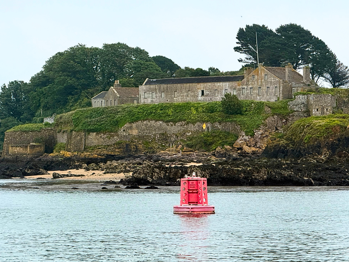
For centuries, Drake’s Island has occupied a strategically important position in the middle of Plymouth Sound.
The reason for its importance is simple: the island sits beside the deep-water approach to The Hamoaze - a broad tidal estuary formed by the River Tamar where it meets Plymouth Sound - and Devonport.
The Bridge creates a much shallower alternative route into The Hamoaze. And that geography matters.
A 19th-century description of Plymouth even referred to the rocks connecting Drake’s Island with the Cornish shore as the ‘Bridge of Rocks’, noting that they were impassable to all but the smallest vessels.
In other words, Plymouth didn't have to build its defences from scratch. Nature had already provided some rather useful obstacles. The military simply had to make the most of them.
An enemy's problem
By the middle of the 19th century, the possibility of an enemy trying to reach Plymouth's naval base was being taken very seriously.
The Royal Commission of 1859 was established to examine the defences of Britain's naval bases and ports. Its recommendations resulted in a huge programme of new fortifications around Plymouth - including coastal batteries and a ring of forts protecting the city and the dockyard.
But the threat wasn't standing still, and as ships became faster and naval warfare changed, Plymouth's defences had to change with them.
By the early 20th century, military planners were thinking about much smaller, faster craft - torpedo boats, destroyers and eventually submarines. And that's where our mysterious ‘teeth’ enter the story.
Although everyone seems to know them locally as the Dragon’s Teeth, historical and local marine sources actually refer to these particular structures as ‘Sharks’ Teeth.’
And unlike the famous concrete Dragon’s Teeth anti-tank obstacles scattered around Britain during the Second World War, these are part of Plymouth's maritime defences.
They're made of reinforced concrete. And at high tide, they're almost completely hidden.
Their purpose was to make the shallow route across The Bridge even more difficult for an enemy vessel trying to sneak towards the dockyard.
They formed part of a defensive system intended to make the route more difficult for hostile vessels, including the fast attack craft and submarines that military planners feared could threaten the dockyard.
So those mysterious lumps of concrete you can see at low tide aren't some forgotten construction project. They're part of a defensive system.
And it gets even more interesting.
A boom across The Sound
The concrete teeth weren't working alone. The military defence system also included a boom - essentially a substantial barrier intended to prevent hostile vessels from simply forcing their way through the water.
The Plymouth Defence Scheme of 1911 envisaged a boom stretching from Drake’s Island towards the Rame Peninsula, with anti-submarine obstacles - including the ‘dolphin or shark teeth’ - forming part of the defensive arrangement on the island side.
When Britain entered the First World War in August 1914, the defences were put into action.
Boom-defence ships, Mariner and Reindeer, were stationed off Plymouth, responsible for raising and lowering the barrier to allow friendly warships to pass in and out.
So while Plymouth's fortifications were bristling with guns, searchlights and troops, there was another layer of defence sitting quietly beneath the waterline.
The Sound itself was being turned into a watery obstacle course.
So back to the reason for taking the long way home…
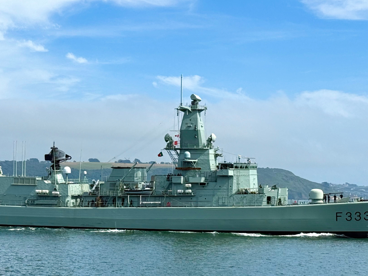
Stand on The Hoe and watch a naval vessel, a Brittany Ferry or any other large ship heading towards Devonport following the route known as Drake Channel.
The difference between Drake Channel and The Bridge is quite remarkable.
The Bridge, as we’ve already discovered, is a shallow rocky reef with a narrow navigable passage through it, while The Drake Channel, by contrast, is the deep-water route used by larger vessels heading towards the Hamoaze and Devonport.
The Bridge can have barely a few metres of water over it, while Drake Channel has a charted depth of more than 10 metres.
So the big ships aren't taking the long way around because someone has arbitrarily told them to. The geography of Plymouth Sound dictates the route.
Deep water one side, shallow reef the other. And, for centuries, the people responsible for defending Plymouth have been very aware of both.
So all of a sudden, that familiar view from the Hoe starts to have meaning and purpose.
Today we’ve modern navigation systems, charts, communications and powerful tugs. A century ago, there were lookouts, guns, searchlights, defensive booms and concrete obstacles.
And beneath all of it is the same Plymouth Sound, with the same rocks, reefs, channels and tides.
Part of the scenery
They're not particularly impressive.
They're not another magnificent fort like Drake's Island. Most of the time, you can't even see them.
But when the tide falls far enough, they appear and suddenly a piece of Plymouth's military history rises out of the water.
Plymouth's Dragon's Teeth.
Or, if we're being historically accurate, Plymouth’s Sharks' Teeth.
They were built to stop the enemy many years ago. Today, they're simply part of the scenery.
And that's fairly typical of Plymouth. Another of those things we barely notice on a daily basis, but look a little closer and you’ll find they definitely have a story to tell.










NB: Positive Plymouth is not responsible for the content of external websites